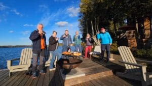
Hit pause. Unplug. Trade the driveway for a dock, the commute for a canoe, and let someone else handle dinner for a few days.
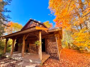
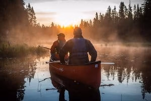
There’s a particular kind of vacation the market doesn’t really have a name for. Not quite a canoe trip — though there’s paddling. Not quite a hotel — though every meal is taken care of. Not quite a cottage rental — though you’ll fall asleep to loons and wake up to mist on the water. It’s something else: an off-the-grid cabin or cottage at Algonquin, chef-crafted meals at a candlelit harvest table, and guided adventures woven into every day, so all you have to do is show up and be present.
At Voyageur Quest, we offer this experience two ways — and the right one for you depends on the kind of company you keep. … Read More