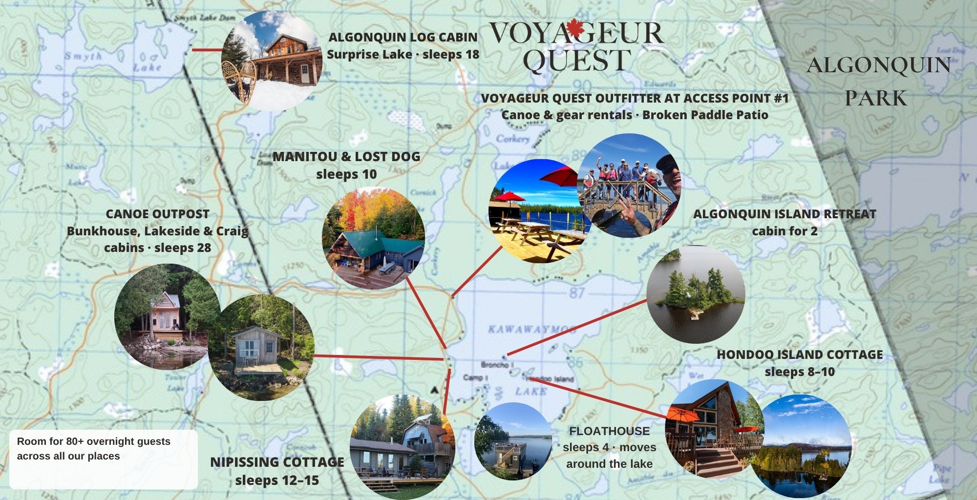
You are here: the northwest edge of Algonquin Park, at Access Point #1 on Kawawaymog Lake, near South River. It’s the quiet side of the park, with big lakes, old portage trails and far fewer crowds.
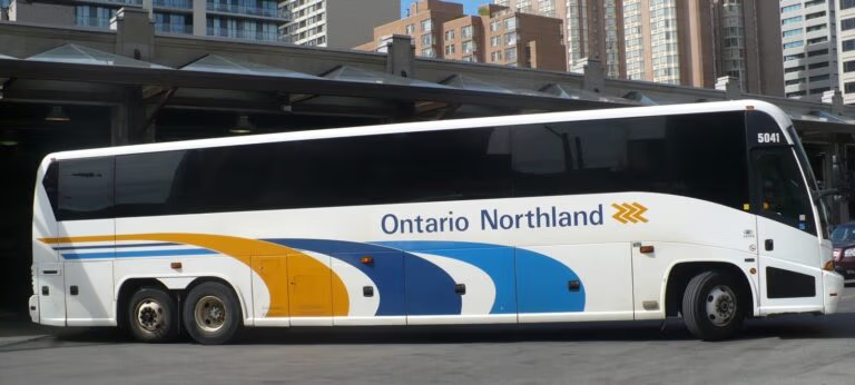
Use these maps to plan a route, find your way to us, and get a feel for the land before you arrive. Planning the drive? See Getting Here and Algonquin Park Weather.
Table of Contents
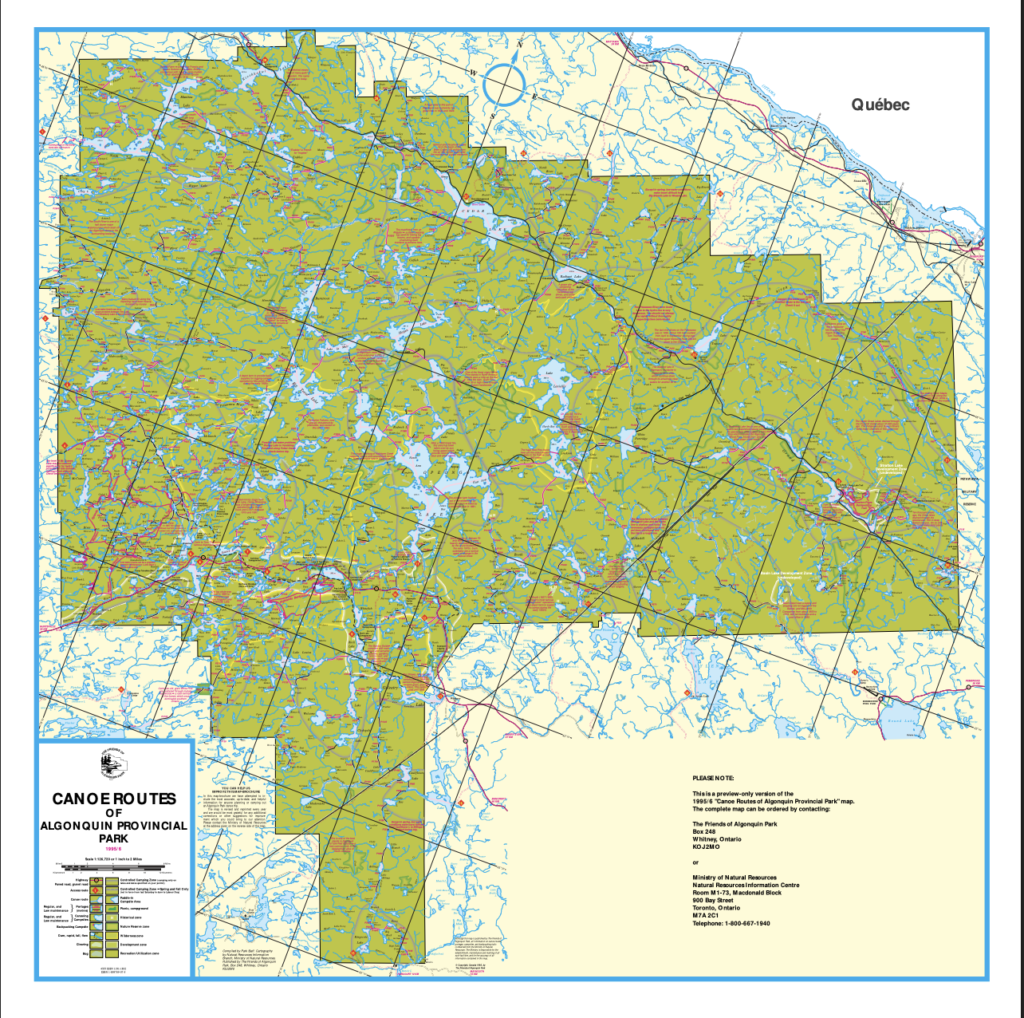
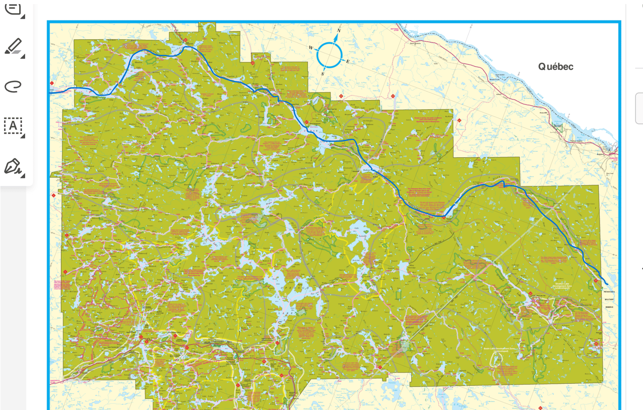
Canoe Routes of Algonquin Park
Canoe Routes of Algonquin Provincial Park
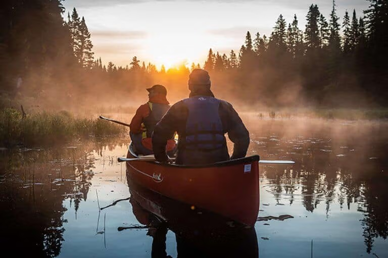
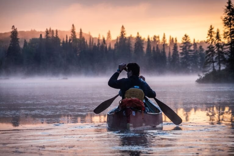
Want to paddle these lakes without the planning? Our guides know every portage, and we pack the food, gear and permits. Going on your own? Rent canoes and gear right at Access Point #1.
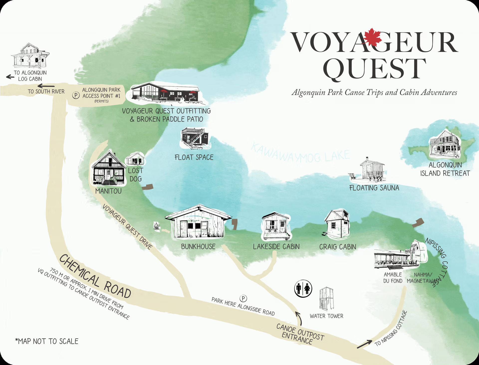
Everything we run at Access Point #1 on one map: the Outfitter and Broken Paddle Patio, the Canoe Outpost and Bunkhouse where canoe trippers stay the night before, Manitou, Nipissing, the floating sauna, and the Algonquin Island Retreat out on the lake. The Log Cabin is a short drive away.
Staying at one of our cottages or the Log Cabin? Five old trails wind through the woods around Access Point #1, all a few minutes from your door, from a 1 km stroll to an 8.5 km loop. Cell signal fades on the drive in past South River, and there’s none on the trails. Look at the map at your cottage before you head out, then take a printout or a screenshot with you (or download the area in the Google Maps app as an offline map before you leave home). The green hiker pins on our map above show each trailhead.
Moose Mountain Trail (2 km loop): a steady climb over granite to big views of the lakes. Our guides’ favourite.
Laurier Fire Tower Trail (2 km): tall hardwoods to the lookout where the old fire tower stood.
Loxton Beaver Trail (8.5 km loop): pines, wetlands, and Loxton and Beaver lakes. Bring lunch.
One-A-Day Trail (1 km): an easy walk to One-A-Day Lake, the closest to the cottages.
Tom Thomson Portage Trail (2 km): the old portage to Mary Jane Lake that painter Tom Thomson used to reach Algonquin.
In winter, ski the trails or snowshoe to the top of Moose Mountain.
Trails cared for by volunteers of the Forgotten Trails Association.
Forgotten Trails hiking map, Access Point #1 (click to enlarge, then print or save)
Antique Survey Maps of the Log Cabin and Access #1
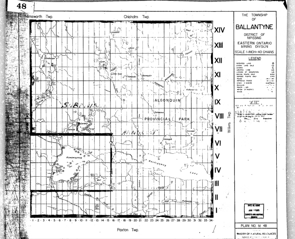
While digging around on the Archives of Ontario's Visual Database Website, we recently uncovered some original survey maps of Laurier and Ballantyne township, where our Algonquin Log Cabin and Cottages are located. These maps give us a glimpse of the land use history, including logging, and allows us to look back to the original lake and river names in this area. If you look at the top right corner of the Laurier Township Map of 1878, it labels Surprise Lake as Surprise Lake (What we unofficially still call it), but at some point in the following 100 years the name was changed to Smyth Lake. The reason behind this change is unknown, and despite its official name, we're sticking to calling it Surprise Lake.
Antique Survey Map - The Township of Ballantyne, District of Nipissing
See it today: the Log Cabin sits on the shore of Surprise Lake.
Our cottages, cabins and Floathouse around Kawawaymog Lake, with room for 80+ wedding guests. Planning a wedding? See Algonquin Weddings → Use the live map below for directions.
Click a pin to see each place: the Outfitter, Log Cabin, Nipissing, Manitou, Hondoo Island and the Island Retreat.
Join the Voyageur Quest Adventure Insider List and receive your $25 Adventure Credit, plus Algonquin inspiration, seasonal adventures, special offers, and stories from the park.